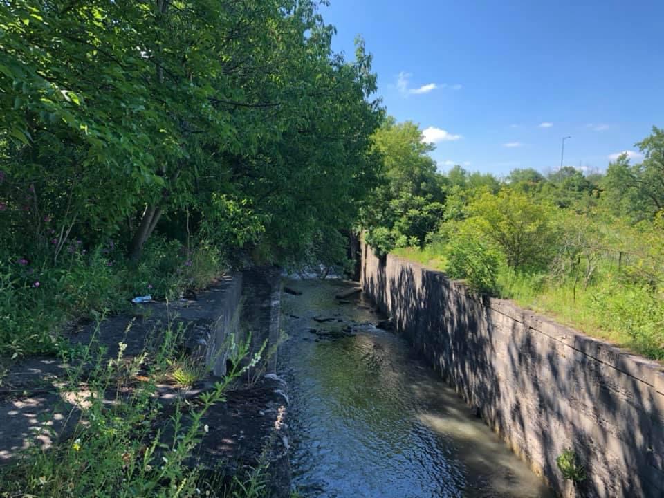
Earlier this year I completed the second major historical photographic project on the Confederation of Canada and the events and places that lead up to the joining of four British Provinces in British North America into the Dominion of Canada in 1867. Over the course of that project, I came across many events and locations that inspired me to try and tell the deeper story. Of course, I couldn’t tell every story so instead, I selected two that I felt I couldn’t tell the whole story due to the timeline for the project ending in 1867. One of these is the railroad through Ontario the other is the Welland Canal. It is the Canal that this project will be focused on; I will cover the whole history from pre-historic times to the modern era.

Yes, you read that right, pre-historic. I will be taking you back to the origins behind the Welland Canal (being Niagara Falls) and the early concepts behind a military canal in the days following the American Revolutionary War. Into the Anglo-American War of 1812 and the inspiration for William Hamilton Merritt to construct the first canal. And from there we travel through history in a roughly chronological manner through the 19th Century and into the 20th and 21st. In most cases, I’ll stick to a linear progression, but in some cases, I might jump around a bit. But this project isn’t just about the canals themselves (first through fourth) as that would be pretty boring and fairly short. I’ll also explore the industries that grew out of the canal, the communities along the banks or have grown up further because of the presence. I’ll also talk on the human cost of the construction.

Mamiya m645 – Mamiya-Sekor C 150mm 1:3.5 N – Ilford HP5+ @ ASA-200 – Pyrocat-HD (1+1+100) 9:00 @ 20C
But why the Welland Canal? In Ontario, we have three historical canals. The most obvious being the Rideau Canal, the least being the Trent-Severin. The Welland occupies the middle spot, but again why the Welland? Well, the Trent-Severan, to be honest, isn’t too interesting, sure there are some interesting parts of it, but it is also a long and hard to follow. The Rideau, while interesting, is a static canal. Built as a military channel it never changed from its construction into today. In fact, the Rideau looks and operates the same way it did in the 1830s. The Welland Canal, however, is a character in its own right. It has grown, evolved, and changed over time not only to match the shipping technology of the day but also the technology available to operate the locks. And it also changed the face of the area it ran through. Photographically, I captured all the main images I needed for the whole project in a single day at the end of June. Starting in Port Weller and ending in Port Colborne taking a total of ten hours from leaving home to returning. Thankfully the traffic was light and being a weekday allowed for a faster pace. I shot using Kodak Tri-X and developed in Kodak D-76 using my Minolta Maxxum 9. Now, I am reusing a handful of images from other trips and my 1867 project where I could not spare the route to grab those shots.

Minolta Maxxum 9 – Minolta Maxxum AF 28mm 1:2.8 – Kodak Tri-X 400 @ ASA-400 – Kodak D-76 (1+1) 9:45 @ 20C
The overall final goal for the project in addition to these blog posts is to create a photo book with a separate narrative and a little cleaner flow needed for a book rather than separate articles published online. I hope to get the book ready for the Christmas season. Thankfully I have written a majority of the blog posts, a good 80% of the work is done on those posts. The idea is that I can use these blog posts as a foundation for the text in the book and edit and build the flow from there, which I have also started the work for. That about covers the introduction for the project, stay tuned next week as we travel from nearly 12,000 years in the past to the early 19th Century.