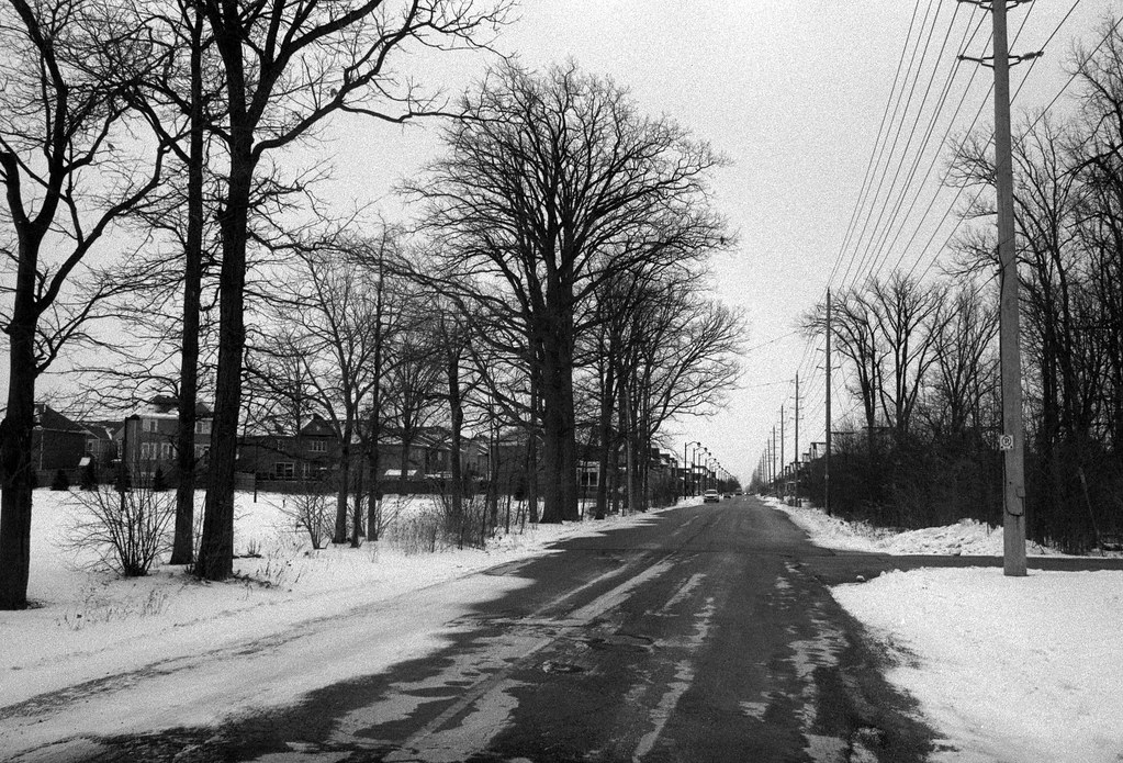
Winter has finally come in force to Southern Ontario. And the original plan had been to shoot this week’s roll in Burlington, Ontario. But after fighting our way down to Burlington to pick up Valentine’s Day doughnuts from Sunshine Doughnuts. We got the doughnuts but ended up turning around and headed home right afterwards. And here we are, so instead of Burlington, we’re back in Milton, but in the new part of town, mostly in the Clarke Neighborhood, which a farm recently occupied.

I’m not going to go into great detail on the history of Milton, as I already expanded on that in my original Hometown post a couple of weeks ago. The area of Milton, or rather “New Milton”, straddles two neighbourhoods. Where I live with my lovely wife is the Dempsey Neighbourhood, first surveyed in 1998 and named after John Dempsey. He arrived in Milton in 1836 and owned several businesses such as a general store, grocery store and hardware store in the then small village. Although I’m unsure where the farm was located initially, they also operated the Winding Sixteen Farm; most signs point to a park a few blocks away from the condo. The second neighbourhood near where we live is just on the other side of the tracks, or the Clarke neighbourhood. Like Dempsey, it was first surveyed in 1998. Much of the area had been settled as farms as far back as 1823, first by Thomas Irvine and then Thomas Appleton in 1831; the Patterson family purchased the Appleton Farm in 1840 and then the Irvine Farm in 1858, naming the new farm Cedar Hedge. The arrival of the Credit Valley Railroad in 1874 split the farm in two, with the Patterson’s selling three acres to the railroad company for close to 200$ (that is not in modern 2021 currency). While the Patterson’s sold off the eastern part of the farm in 1880, they retained the western section. The last member of the Patterson family, Cecil, took ownership in 1935. Through the rest of the twentieth century, Cedar Hedge saw more chunks removed with Highway 401 and James Snow Parkway’s construction. Eventually, the remaining section was sold to a developer in 2012. Sadly all of the original farm buildings are long gone, demolished in 2012, which included several turn-of-the-century buildings like the Edwardian styled 1902 farmhouse and 1900 barn. During the demolition, some materials from the 1902 house were retained and moved by the Patterson’s to build their new farmhouse and construct certain park elements that bear their family farm name. My first discovery of the area came from about a year ago when I needed to have some way to get out during the first wave of the current pandemic. But I also wanted something that offered a little more variety than the usual loop that my wife and I walk through our neighbourhood. After scouting on Google Maps, I hit across a new walk that took me south into Clarke, then cutting through a series of parks and trails, most of which ran through the old Cedar Hedge Farm property. You can still see those farm elements in ancient trees and limestone blocks taken from the land’s original purpose. However, the walking route work is the completion of a pedestrian walkway over the rail line (the original Credit Valley Line, now operated by Canadian Pacific) that closed the loop. And while I have shot the route so many times, I still try and find something new.


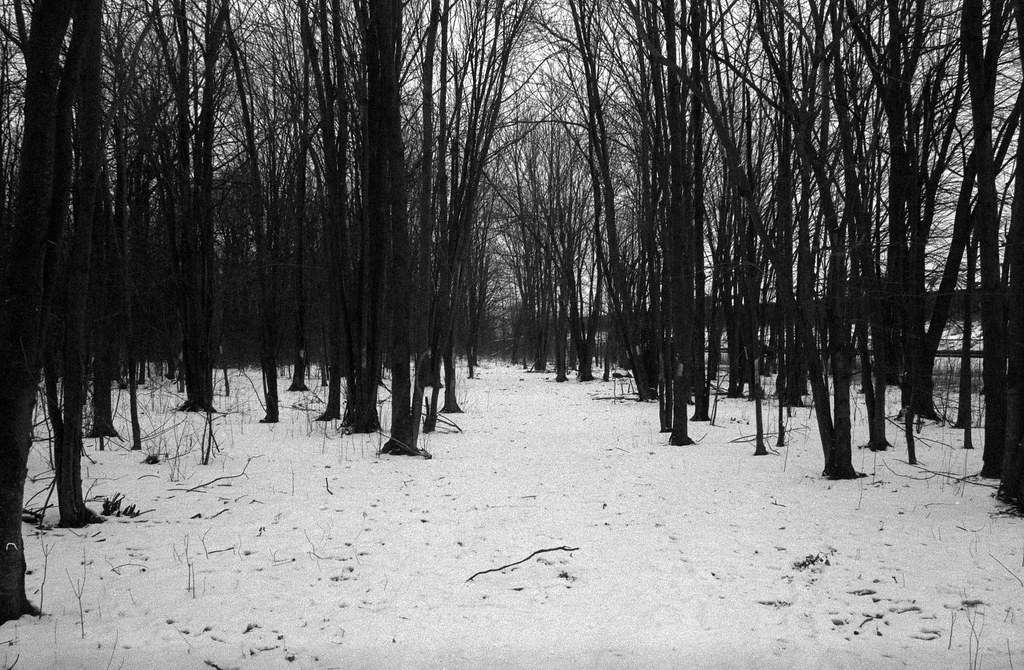
I’ll admit, picking the seven images for this week proved a little tricky. When you’ve done this route often, you seem to hit all the same pictures, and I found myself thinking , but I’ve already posted these before. I decided to take a different approach and look back at the area’s history to provide the image selection’s backbone. The featured image is of the condo building where my wife and I live, making a clear choice on the top spot, oddly the last frame on the roll. From there, I traced my route south on James Snow, through the park that used to be a part of Ceder Hedge Farm with the stand of old trees and a modern bridge that crosses the nameless creek that runs through, more of a storm control feature. Not wanting to show off the endless rows of similar houses, I jumped over to the pedestrian bridge that crosses over, devoid of people that day. With the fences that keep folks off the stairs and the covered walkway over the rail line. I do regret not getting a better shot of the right-of-way. Back into Dempsey with my favourite sections, a decent-sized woodlot has some secret trails that run through it, nothing official, but good to get lost. While these aren’t my favourites of the past seven weeks, they aren’t bad given the terrible conditions that day.


Given that the area I was working in didn’t require any significant shifts in equipment, the easiest route was to bring the 35mm f/2.8 lens along. A great go-everywhere lens, and the original plan was to wander around Burlington; it made sense to stick to a single lens when someone else is around. I only gave the film a slight over-exposure this week, rating it at ASA-320 and developing in Ilford Ilfotec HC using my standard go-to dilution of 1+63. This did not turn out how I expected, and I found the images fairly rough with lots of grain being rendered in the skies, but this is Fomapan 400 and recalling my review of the film, it didn’t do well at near box speed in HC-110. I did hope that using weaker dilution might mitigate some of the grain, sadly that didn’t happen. But still, I find it works given the deep overcast and snowbound situation I was out shooting.


Stay tuned for next week to get a little bit cliche, as I check out a pair of cemeteries in Milton!