Everyone needs a space where they can escape to, get out of the grind that is work. For me that spot is close to where I work, and some parts are technically still on the Sheridan Campus. I’m talking of the McCraney Valley. This little trail takes the name of one of the early families that settled in the Trafalgar Township in the area that would become part of the modern town of Oakville, Ontario. While mostly I only frequent a small part of the trail, today I’m going to go along the entire length of the trail from where it starts at Upper Middle to Trafalgar Road where it terminates.

Canon EOS 3000 – Canon Lens EF 50mm 1:1.8 – Arista EDU.Ultra 200 @ ASA-160 – Compard R09 Spezial (1+30) 10:45 @ 20C (Constant Rotation)
When I first started looking into the McCraney Family and their history in Oakville, I initially thought the valley behind the Sheridan campus once was a part of their property. But looking at early maps of Trafalgar township certainly is not so, even with a rough guess based on early maps. The maps I found offered up enough resolution dating to about the mid-19th century, given the presence of the Great Western Railway and a station where the modern GO and VIA stations are today. Then, after a bit of looking, I found what I was looking for one name, Hiram McCraney. Hiram, born in 1801 in Upper Canada and was first recorded as being in the Trafalgar Township in 1825, married (1824) with no children. He grew up working in the grain trade, but he built a lumber mill on the banks of the Sixteen Mile Creek in 1831. By tracing the historical map with a modern Google map, the old property was on the west bank of the creek, south of another mill, which puts it where the QEW drives over the creek. By the mid-century, the mill business was booming; Hiram had two sons by this point: William (1831) was off working in California in the Lumber industry, and Daniel (1834) studied law and moved to Bothwell to set up a practice. William returned in 1868 and began to build a name in Oakville. Hiram would live long enough to see William serve on Oakville’s council and serve as Mayor. And William’s election to the House of Commons in 1875 and Daniels’s election to the Ontario Legislature that same year. Hiram died in 1878 and is buried at St. Jude’s Cemetery in Oakville. So how did a street and valley far from where the original McCraney Property sat get its name? Well, that’s the mystery. One of William’s mills operated in the area of McCraney Road, but all signs indicate that his mills were out in Bronte. If Oakville is anything like Milton, they picked the name of a famous family in the town and started slapping the name on things despite no connection. Milton does have a Waldie Avenue, but it is far from where the Waldie Blacksmith shop sits. Despite going to Sheridan College since 2002, the earliest photographic evidence of my visiting the valley is in 2017. The valley follows a shallow creek; it probably was deeper at one point but has no name attached to it, like many of the tributaries of the Sixteen Mile Creek. At one time, the deep valley offered shelter to animals and to the earliest indigenous peoples who lived on and stewarded the land, as there are some indications of settlement on the Sheridan campus before the colonisation of the township. The trail is easy and makes for great photos in all seasons.


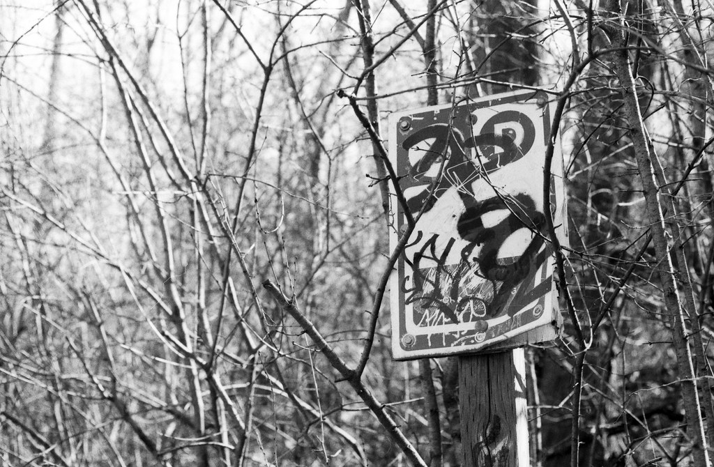
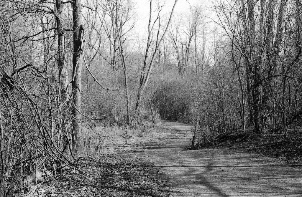
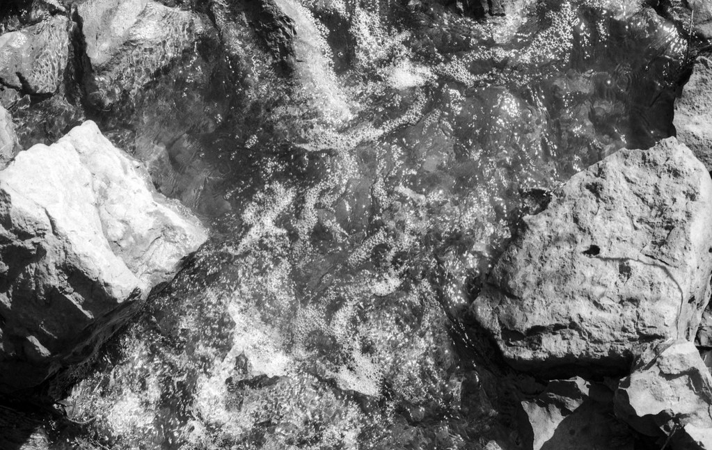
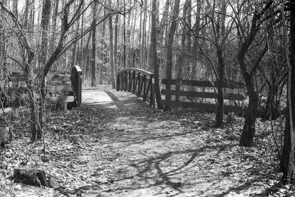
When I am usually down in the valley I stick to a small part of it, the area that forms the rear boundary of Sheridan’s Trafalgar Road Campus. But the trail itself extends beyond the campus proper, running officially between Upper Middle Road with two entrances and McCraney St East. About a two kilometer trail, our about a half-hour walk. I started my journey at the entrance by the Royal Canadian Legion Branch 114, a section of the trail that I had not travelled before. I went in with a couple ideas of what I wanted to capture on the roll, the first being an sign marking the trail, I didn’t get that shot until the end of the roll at the McCraney St entrance. And then I trusted my gut and pointed the camera at anything that caught my eye, also travelling reverse of my usual walking route I saw everything from a different angle which always helps to see something new in a familiar space. Honestly, there’s no rhyme or reason to which photos I chose to include, save the featured image which is that trail marker sign. I went with what I felt looked good to my eye when picking out the twelve additional images. I ended up grouping the images by theme, going with details, wide shots, and water related ones. I did not go into this grouping intentionally in the field, it came together here for the post.


Rather than shoot the usual 28-80mm kit lens, this month I made the choice to use my second lens for the first time, the 50mm f/1.8. I got this lens with a Canon EOS 650 from my wife’s Great-Uncle George who upon learning that I was an avid photographer that still shot film, gifted me the camera, lens, and flash. While not the ideal focal length for landscape work, I wanted something a little in between that I could get in close for details on what I saw during the walk, while still being able to get a bit more big picture. I also decided to over-expose this roll slightly, at ASA-160 and developed using one of my favourite developers for Arista 200, Compard R09 Spezial, a modern version of Agfa Studional, which is currently being made by Bellini Foto in Italy. I do like the results I got, but they could have been better if I had either shot the roll at the box speed or reduced the development time by at least 15 seconds, 30 would have been better. It isn’t that these photos are bad, they scanned easily, but I did need to do a bit more in the way of post processing to get some details out, the highlights were overcooked.


Usually for these projects I like to go with things that are interesting or exciting, I love telling the story of small towns and exploring Ontario’s rich urban history or events that shaped our province and country. So doing something different, in this case a valley that allowed me to dig into a human story is a nice break. And finally being able to figure out who this valley is named after and chuckling that it had nothing to do with the McCraney’s directly is something that a lot of communities in Ontario do. But it does allow the legacy of what those families did to live on, even if no one knows the connection. Next month I’m going back to the norm and exploring the City of Burlington, not as a whole, but the original core of what would become Burlington, Ontario.